
Trace a Wareham Street by Address
A street-by-street search in Wareham works best as a record chain, not as a promise that one public list names every person in every building. The assessor and MassGIS identify the parcel at a physical address. The Registry supplies the ownership document behind a sale reference. A Town Clerk voter request can identify publicly listed registered voters, while permits and historical directories add dates and context. The records must be compared because owner, voter, permit applicant, and directory householder are different roles.
- Enter the full address in Vision or MassGIS, adding Wareham or the ZIP when a result needs narrowing.
- Record the site address, owner, parcel or PID, map-lot, latest sale book/page, and the map link if the card displays them.
- Use the parcel layer and map table to inspect the address and the surrounding street frontage.
- Search TitleView by book/page or party, then verify the legal description and plan before following a deed backward.
- Request the local voter record or annual street-list material from the Town Clerk only for the public fields and period needed.
- Use a historical address section only when the particular directory volume contains one; then confirm a past household with a deed, obituary, probate file, or vital record.
That sequence keeps a Wareham street directory search tied to real address fields rather than a loose collection of names.
Start With Wareham Situs Addresses
The situs, or site, address is the physical place where a parcel sits. It is the address used by assessment, GIS, permits, and emergency addressing. An owner mailing address is different: it is where a tax bill is sent and may be outside Wareham, a trust, a company, an attorney, or a post-office address. It can be a useful clue about an owner’s contact geography, but it does not prove who lives at the site.
Record the parcel identifier as well as the street address. Wareham assessment maps use map groups 1 through 134 with submaps, and a PID or map/lot is often more stable than a road name. A legal description from a deed may be still stronger when the address has changed form or the record uses an old village label. Onset, East Wareham, West Wareham, and Wareham Center are local or postal names within one town.
- Parcel
- A mapped unit of taxable land with an assessment identifier.
- Situs address
- The physical address of that parcel.
- Plat or plan
- A recorded map referenced by a deed to describe land.
- Criss-cross directory
- A directory section organized by address when a volume includes one.
Read Wareham Vision Street Fields
Vision Government Solutions is the named Wareham assessment portal. The current public notice is for FY2026, with an assessment date of January 1, 2025. A live parcel card can provide a location, map-lot-unit or PID, owner and co-owner, assessment values, owner mailing address, sale price, sale date, Registry book/page, ownership history, year built, living or building area, and a map route. The exact fields visible on a card should control the terms used for that parcel.
| Field or control | Street-directory use |
|---|---|
| Location / address | Finds a full or partial street address; unit and abbreviation form can matter. |
| Map / parcel / PID | Connects the address to an assessment map and the correct land unit. |
| Street listing | A possible whole-street browse control that requires live confirmation in Wareham. |
| Sale history | Provides the sale and deed bridge when the card supports it. |
| Map It | Opens the mapped parcel for a street-level view. |
The official Wareham Vision assessment database is the source for the address-card interface.
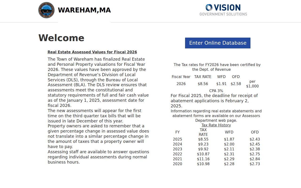
An assessment card establishes a parcel and owner-of-record relationship. It does not establish all residents at that address.
Map Wareham Streets in MassGIS
MassGIS Municipal Mapper is the detailed street layer for Wareham. Its location search accepts a full address with town or ZIP, a street plus town, a landmark, municipality or neighborhood, a ZIP, or coordinates. Activate Property Tax Parcels, choose the correct result, and use Identify on the parcel. The interface also offers selection tools, buffer and measure functions, a parcel table, basemaps, aerial imagery, roads, municipal boundaries, and other layers whose availability varies by municipality.
For a named road, use the map extent or selected-parcel table to review the parcels that appear along the visible segment. A buffer is a research convenience, not a legal boundary. The state property-map popup can display owner, land value, and use description, while Find Abutters identifies directly adjacent parcels. When a viewer tool does not load, browse the assessment-map PDF, enter the PID in Vision, or ask the assessor about the appropriate map group.
The Wareham MassGIS Municipal Mapper provides the parcel and address-search view.
The map helps separate nearby parcels along the same road before a researcher opens an individual card or deed.
Wareham Street Records by Address
Different address-keyed sources answer different questions. The property record is the current assessment view. A deed and plan describe the ownership transfer and land. A municipal voter list identifies public registered-voter information, subject to exclusions. Permits identify work and an applicant or agent, while old address directories can place a past householder. The coverage table prevents those roles from being collapsed into one claim about a street.
| Address record | What it shows | Wareham keeper | Access route |
|---|---|---|---|
| Vision parcel card | Owner, situs, mailing address, value, sale bridge | Assessors | Free public portal |
| MassGIS parcel map | Parcel geometry, map context, selected or adjacent parcels | MassGIS | Free map viewer |
| Deed and plan index | Parties, book/page, legal description, plans | Plymouth Registry | Free search and view |
| Municipal voter record | Publicly listed registered-voter fields | Town Clerk | Written local request |
| Permit or code record | Address work history, dates, applicant where public | Inspectional Services | ViewPoint or older paper inquiry |
| Historic directory | Householder or address lead at publication date | State Library / Stone Room | Reading room or appointment |
The chain is address to parcel, parcel to deed, and then document to date. A street name is the common label, but map/lot and legal-description details are what keep the records aligned.
Follow Wareham Deeds Along Roads
TitleView at the Plymouth County Registry is the address history engine of a Wareham street directory. The Registry’s online inventory reaches from 1685 or 1686 to current recorded land, with plan index coverage from 1890 and registered-land coverage from 1899. Start with a Vision book/page when available. The purchase deed should be read for seller, buyer, recording date, consideration, legal description, plan reference, and exceptions before a researcher treats it as the same property.
To move backward, search the seller from the later deed as an earlier grantee. If that person owned several parcels, compare plan, lot, and legal description before continuing. Search town as Wareham and narrow by date or document type. Recorded land uses book/page; registered land uses certificate information, so the two should not be mixed. If back-indexing fails, Registry public stations, printed volumes, and staff inquiry remain available. Home printing has separate Registry subscription and per-page charges even though search and viewing are free.
The Plymouth TitleView index shows the recorded-land, registered-land, plan, and Plymouth Colony modes.
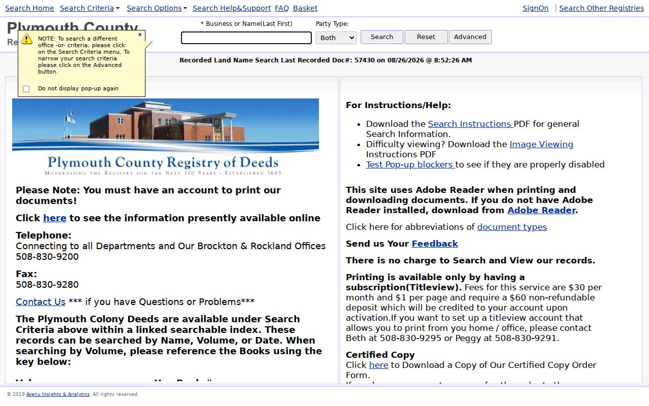
A deed trail identifies transfers and land descriptions. It should not be read as a current list of people within a building.
Request Wareham Voter Street Lists
Wareham Town Clerk is the route for a municipal voter list or a specified public voter record. The Clerk is at 54 Marion Road and can be reached at 508-291-3140. State guidance says a local public list may contain name, address, party or enrollment, date of birth, active or inactive status, and voter ID, with additional history available on request. Ask for a defined municipal list, period, format, and delivery preference. The office can explain production cost.
The Secretary’s online status tool is not a third-party street directory. It is for a person checking that person’s own registration. The statewide list is restricted and is not a public name-and-address resource. Confidential voters, minors or covered pre-registrants, phone numbers, email addresses, permanent absentee information, and protected categories are excluded. A voter entry confirms a registration record, not an entire household, a ballot choice, or continuous physical presence.
Date Wareham Streets With Permits
Permit material can add a useful date to a parcel trail. Wareham’s online permit system began in 2019; older cards may remain with Inspectional Services. Search by address and record the permit number, date, work description, and public applicant or agent fields without assuming that an applicant was a resident. A permit is evidence of a project or filing, not a comprehensive resident record.
Assessment maps offer another address-control step. The town provides 134 numbered groups and submaps plus an index map. They can show numbered parcels, common ownership symbols, wetlands, cranberry bogs, roads, and references to another sheet. The map is expressly for assessment purposes, not a valid legal description or conveyance document. Match its geometry to the deed’s plan reference when an old address produces a weak result.
Use Wareham Postal Labels Carefully
Postal labels are not municipal boundaries. Wareham has four locally labeled postal facilities: East Wareham 02538, Onset 02558, Wareham 02571, and West Wareham 02576. Onset is a distinct village label, and 02558 is commonly treated as a PO-box or Onset postal label in ZIP directories. USPS address lookup, not a map centroid, decides whether a specific street address receives it.
A search may therefore need the street address plus Wareham, East Wareham, Onset, or West Wareham. The assessor situs, parcel map, town boundary, and deed legal description may each use a different geography from the mailing or postal label. No official source in the research verified a town-wide renumbering or renamed-street year. Do not invent one; bridge an older search with village terms, nearby owners, a map/lot, a plan, and the legal description.
Read Wareham Street Directory History
Historical address work belongs in a volume that actually has a street or house-guide section. The Massachusetts State Library verifies Wareham directory holdings for 1903 to 1904, 1907, 1910 to 1911, 1916, 1919, and 1926. Its guide says some Massachusetts directories and Blue Books include address-organized house guides, but an exact Wareham reverse-directory run was not verified. Read the title page and abbreviations for the selected year rather than assuming every volume can be searched by street.
Directory entries can include a surname, given name, spouse or widow notation, occupation, business, and address. Pair a street entry with the nearest public census and a deed transfer, then use the Courier obituary index or probate to close the time gap. The full holdings and reading cautions are kept with the Wareham city directory collections, rather than repeated as a modern address list.
Wareham Land Records Run Deep
The unusual scale of Plymouth land records makes the Registry useful for long street histories. Deed books and indexes reach into Plymouth Colony material before Wareham’s 1739 incorporation. Earlier local areas may appear under Agawam Plantation, Rochester, Carver, Plymouth, or another adjoining place before they appear as Wareham. West Wareham was part of Rochester before incorporation, and Tihonet was annexed from Carver and Plymouth in the eighteenth century.
That historic reach is a strength, but it also requires patience. Back-indexing is ongoing, some plans and highway or taking records have separate coverage, and an image may exist without the expected search path. Record book/page, plan, and legal-description clues from the newest confirmed deed, then use Registry staff or public terminals if a remote search stops.
Limits of a Wareham Street Directory
Address records reveal parcels and recorded relationships, not every person who may be inside a building. A public voter list omits confidential records and is not a household census. Motor-vehicle addresses are restricted by the Driver Privacy Protection Act. Utility customer accounts are not public household directories. A permit applicant may be an owner, agent, or contractor. Postal ZIPs are delivery geography, not proof of a town boundary.
Lawful use. Use Wareham address records for personal, family-history, property, or civic research. Do not use them to stalk, harass, threaten, monitor, or harm another person.
For a correction, contact the source that owns the record. Wareham Assessors handles parcel information, the Town Clerk handles local voter records, the Registry addresses deed-index questions, and the court clerk handles docket access. Those custodian routes are more reliable than trying to fill a gap with assumptions.